Drone work
Drone work
Aerial photos of properties, buildings, and landscapes across Overton County and the Upper Cumberland. Up to five finished photos for $100. I check the location and flight requirements before confirming a booking. See photo rates.
Aerial photographs
Landscape and property photos from my portfolio. Roof documentation and mapping have a separate quote.
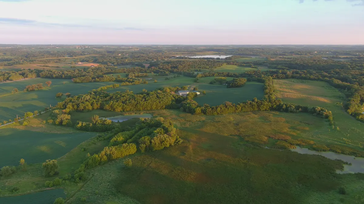
Fields in evening lightAerial portfolio · July 2020View larger photograph 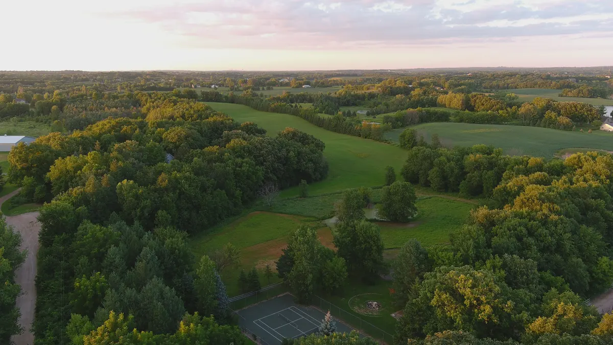
Property in contextAerial portfolio · July 2020View larger photograph 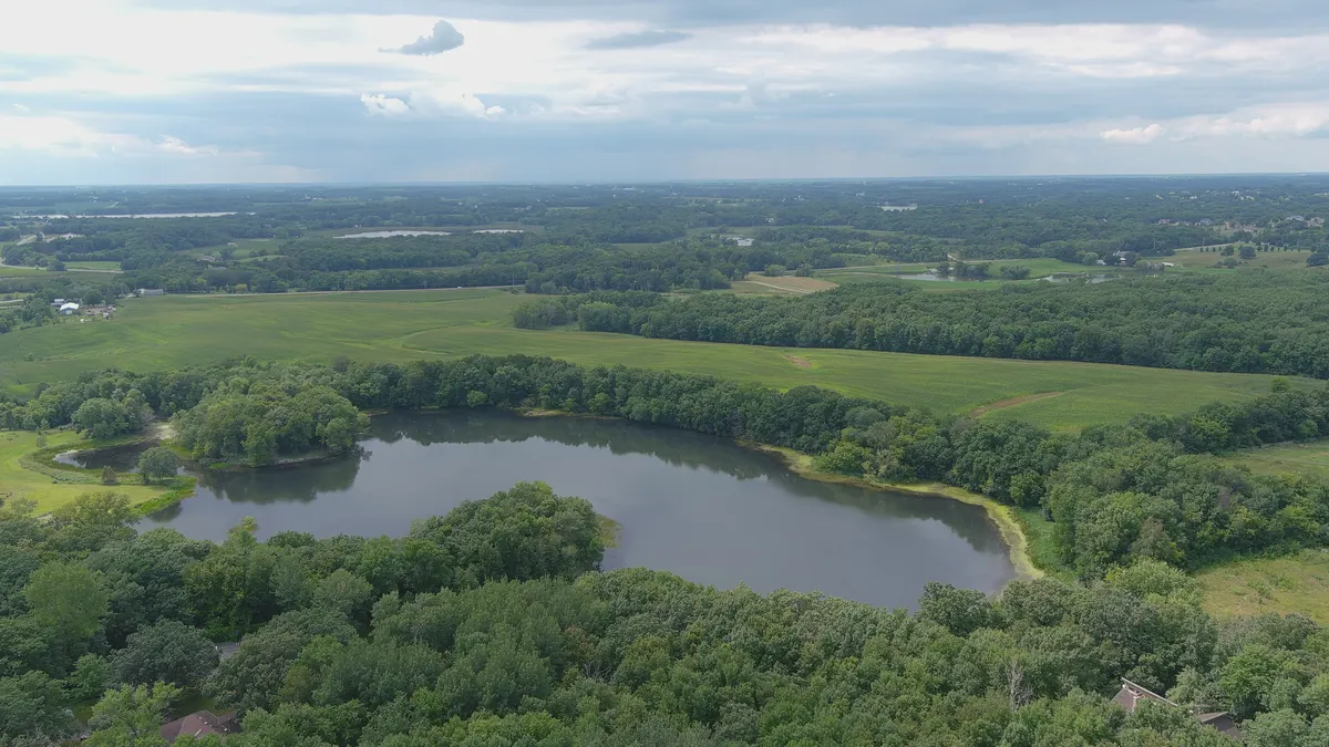
Water and open landAerial portfolio · August 2020View larger photograph
Roof documentation
Aerial photographs can document visible roof surfaces when the address, access, weather, and operating conditions permit.
The deliverable is photographic documentation, not a structural, insurance, code, or thermal diagnosis. A qualified roofer, adjuster, engineer, or inspector remains responsible for conclusions in their field.
A standard camera cannot locate water under a membrane. If the job requires thermal or another specialized sensor, this is not the right tool.
Overhead mapping
A stitched true-color overhead image can document visible features such as fence lines, tree lines, bare ground, standing water, and site progress at capture time.
Repeat images may help a qualified customer compare visible change when the flight path and conditions are comparable.
This is not a boundary, engineering, drainage, agronomy, or legal survey, and it does not produce NDVI or a prescription map. The intended use and required accuracy are confirmed before quoting.
Real estate
Show the building, driveway, surrounding trees, and nearby water from the air. Aerial photos give buyers a view of the setting; they do not establish acreage, property boundaries, condition, or legal access.
Ridgeline Aerial shows how these images can work on a website. It is a fictional company demo.
What it costs
Up to five finished aerial photos cost $100. Larger photo sessions are $100/hour with a four-hour minimum, including editing.
Roof documentation, mapping, and repeat visits are quoted after we discuss the site and what you need delivered. See the full rate card. Travel and turnaround are agreed before booking.
Before a flight
I check the address, airspace, access, weather, and applicable operating requirements before accepting a job. Send the location and intended use when you get in touch.
Booking a shoot
- Call or email with the address and the photos you need.
- I check whether the flight can be made at that location and time.
- We agree on the images, price, schedule, and delivery date before booking.
Ground and aerial photos
Need both? We can plan them together where the flight conditions and schedule allow. See ground photography examples.
Photography can be booked separately or alongside a website build.