Photography and drone
What a shoot costs
Up to five finished photographs for $100. Larger sessions are $100/hour with a four-hour minimum ($400). Shooting and editing are included. The rate is the same for ground and aerial photos.
Photography, on the ground or from the air
| Small job, flat rateUp to five edited photographs: products, portraits, a property, or a mix agreed before the shoot. | $100 |
|---|---|
| By the hourLarger sessions, including shooting and editing. Four-hour minimum ($400). Finished image count agreed before booking. | $100 an hour |
Travel, access, flight requirements, and delivery date are agreed before booking.
See the photographs
Explore ground photography examples or aerial photography examples before planning your shoot.
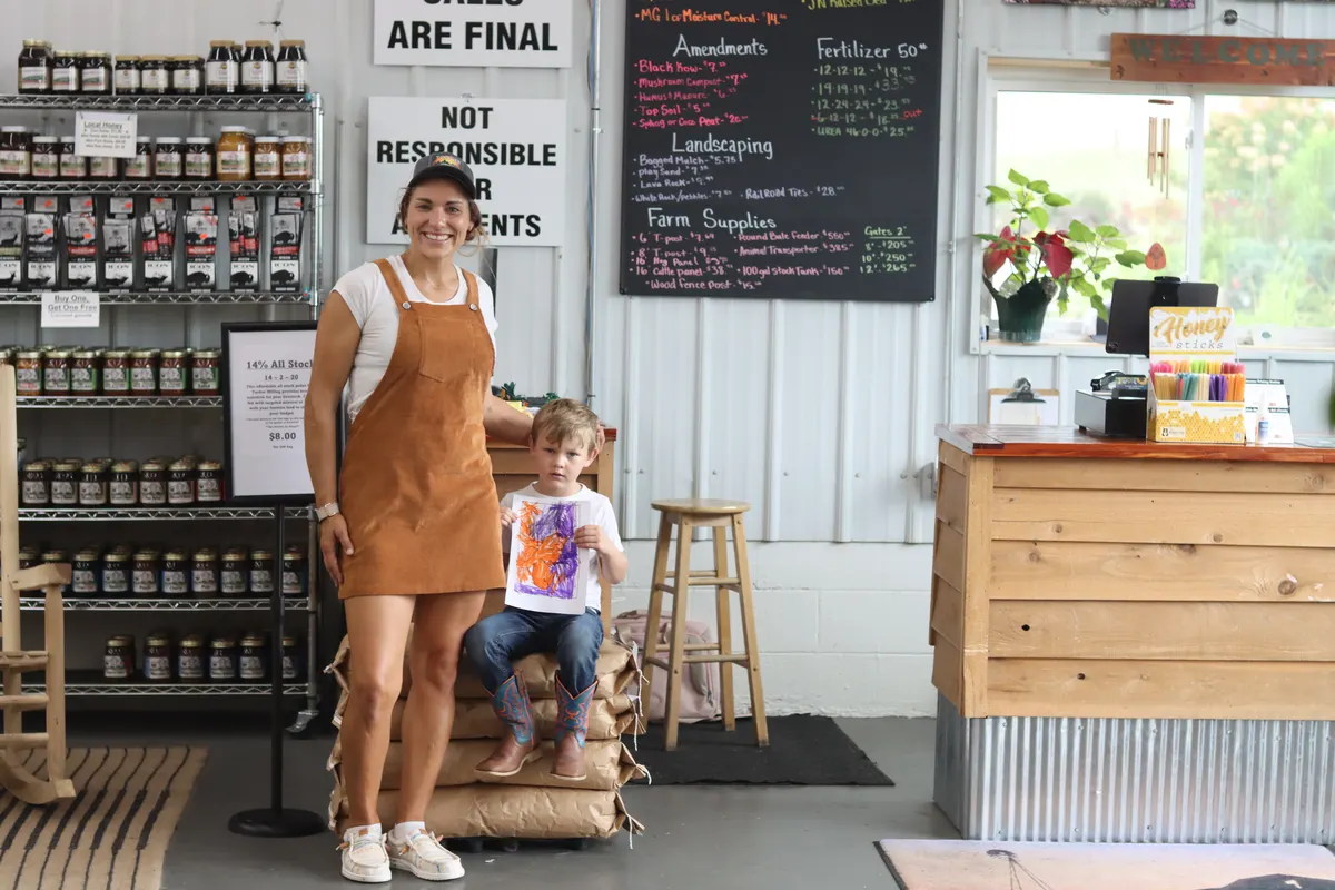
On-location portraitLivingston Garden Center · August 2026See photography examples 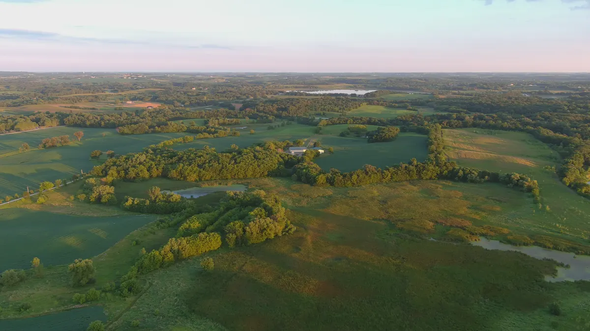
Fields in evening lightAerial portfolio · July 2020See aerial examples
Same rate, ground or air
Aerial photos use the same rate as ground photos. I check the location, access, weather, and flight requirements before accepting aerial work. We can plan both in one visit where conditions allow.
Shooting and editing
The hourly estimate covers time taking the photos and editing them. We agree on the finished images and delivery date before the shoot.
Larger sessions
- Product collections, team portraits, and photographs of a shop, farm, or property.
- Four hours is the minimum booking for hourly work, including editing time.
- The number of finished images depends on the job and is agreed in advance.
Roof documentation and mapping
Roof documentation, overhead mapping, and repeat progress work are scoped per job because footprint, access, deliverables, intended use, and operating requirements vary.
| Roof documentation, residentialVisible roof surfaces can be documented from the air when the job and operating conditions permit. This is not a structural, insurance, code, or thermal diagnosis. | Quoted per job |
|---|---|
| Roof documentation, commercial or multi-buildingLarger or multi-building documentation is scoped to the footprint, access, deliverables, and operating requirements. | Quoted per job |
| True-color overhead mappingA true-color overhead image can document visible site conditions. It is not a boundary, engineering, drainage, agronomy, or legal survey. | Quoted per job |
| Construction progressRepeat photography can be scoped to comparable viewpoints and an agreed schedule when conditions permit. | Quoted per job |
No thermal service or hidden-moisture diagnosis is offered. If a job requires a specialized sensor or professional conclusion rather than visible photography, this is not the right scope.
Roof documentation
Aerial photographs can document visible roof surfaces without representing the images as a structural, insurance, code, or thermal inspection.
The address, access, deliverables, and operating requirements are reviewed before a roof-documentation job is accepted.
Overhead mapping
A stitched true-color overhead image can show visible features such as fence lines, tree lines, bare ground, standing water, and site progress at capture time.
Repeat images may help a qualified customer compare visible change when the flight path and conditions are comparable.
This is not a boundary, engineering, drainage, agronomy, or legal survey, and it does not produce NDVI or a prescription map. The intended use and required accuracy are confirmed before quoting.
Photos on a finished website
I took the photographs and built the website for Tapestry Acres, my family's farm in Monroe. You can see how the pictures are used on the animal, booking, and shop pages.
Ridgeline Aerial is a fictional drone-company demo built with my aerial photos.
How to book
Call and say what needs photographing and roughly how much of it. Up to five finished photographs is $100; larger photo work is $100 an hour with a four-hour minimum, including editing. Roof, mapping, and repeat-progress work receives a job-specific scope and price before any flight.